Google Earth AI:地理空间智能重塑地球挑战应对新范式
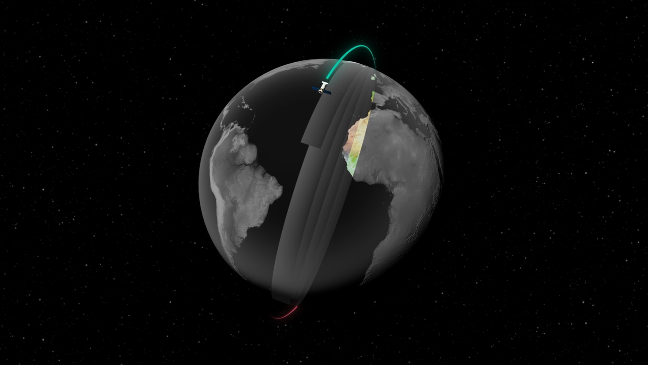
Google发布Google Earth AI,整合了其地理空间模型与数据集,旨在赋能个人、企业及组织应对全球关键挑战。该平台包含AlphaEarth Foundations,并基于此前的地理空间推理能力进行扩展,覆盖了精细天气预测、洪水预警、野火检测等多个领域。其模型已应用于Google搜索和地图的洪水及野火警报功能,服务数百万用户。
此举标志着Google将AI在地理空间数据分析上的应用推向新高度,通过对城市规划、公共卫生、人口动态及城市流动性的深入洞察,提升决策效率与社会效益。Google Earth AI通过Google Earth、Google Maps Platform及Google Cloud提供服务,预示着AI驱动的地理空间信息服务将成为解决气候变化、城市发展等重大议题的关键工具,重塑我们理解和应对地球挑战的方式。
Google Earth AI: Our state-of-the-art geospatial AI models
Google Earth AI is our collection of geospatial models and datasets to help tackle the planet’s most critical needs.
网友讨论